Julia Turner has a great series of articles on signs and wayfinding in Slate. The first article describes the importance of signs in general. The second article takes us on a tour through Penn Station in New York looking at how well (or badly) the signs work in helping us get from an entrance to the Amtrak trains. It reminds me of an experience I had in the Paris Metro Châtelet - Les Halles station in 2008.
The third article is on urban wayfinding, which Turner describes as completely different from wayfinding in transport stations or other controlled environments (e.g. Penn Station). She uses the example of Transport for London's Legible London project to describe the concept. This is a really excellent article filled with lots of good information.
The photo at the right is another solution: people at the Copenhagen Airport who help guide visitors (the other signs there are pretty good too).
The fourth article describes research on the hand-made maps made by normal people. The fifth article describes the 'war over exit signs' which includes a nice summary of the idea behind pictograms and their use on signs. The sixth article is forthcoming, but I am sure it will be good.
I have always been fascinated by signs. Here is a link to my flickr set signs and here is a link to my flickr set WC Signs ... I find wc signs to be especially interesting because they give businesses and people the ability to be creative about how they use graphics. As they say, "You can tell a lot about a place by their WC signs" ... well, at least that's what I always say.
Finally, my restaurant review of the Hallwylerhof restaurant in Zurich. They have a wonderful graphics and signage design used consistently throughout the restaurant, and the food is great too.
Here's a great post from the Web Urbanist on 22 miniature cities ... different physical and virtual models of cities (I learned about it from Planetizen). I especially loved the film by Sam O'Hara "The Sandpit" at the end of the article.
Here are some more examples of physical models for the list:
- San Francisco - when I studied at the UC Berkeley City and Regional Planning Department Professor Bosselmann had a laboratory with a miniature San Francisco; it was used to model how new buildings fit into the visual environment;
- San Francisco - there is an old model of the city that used to be in the Powell Street BART station ... but I have not seen it in a while.
- Zürich - the planning department has a large model of Zürich today (German) cut into sections mounted on wheels so you can move the sections (they are on tracks) and then walk through a cross section to find yourself in the middle of any neighborhood;
- Zürich - the Zurich city archives museum has a nice model of Zürich around the year 1800, the museum is a delightful place for history buffs and is located on a wonderful square in the old city (try the Neumarkt Restaurant across the street for a nice lunch or dinner).
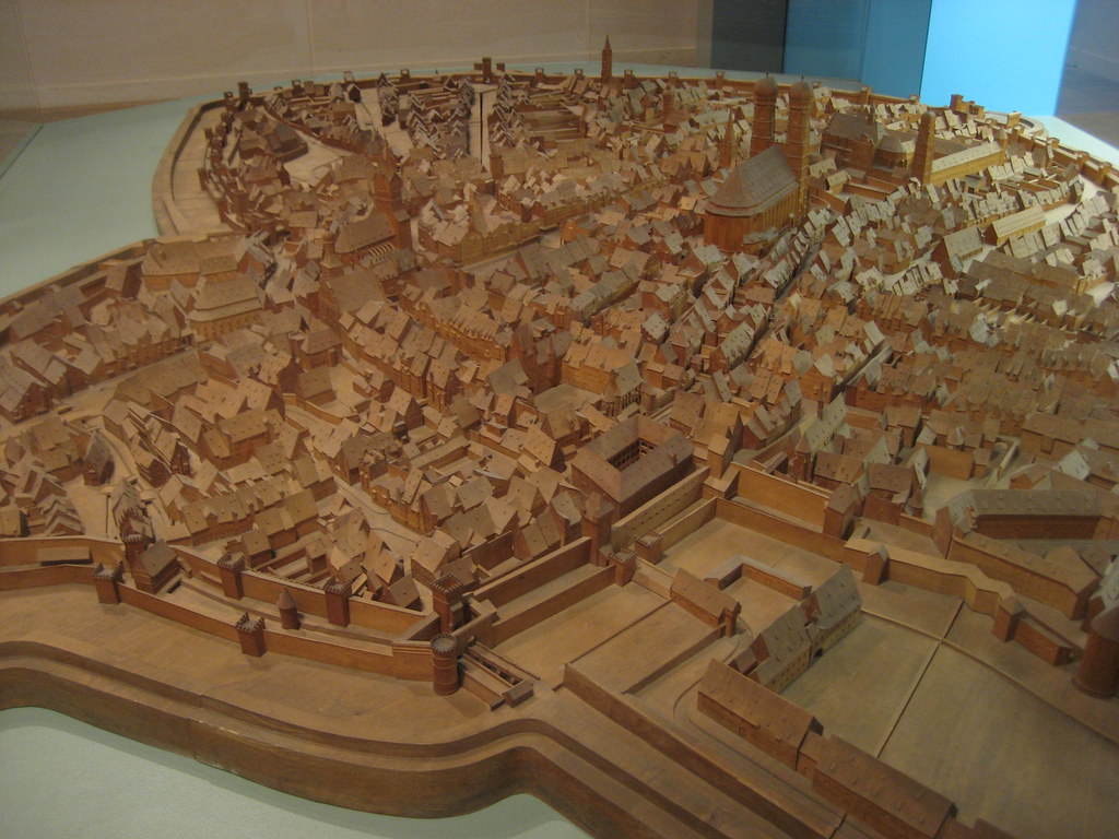
- Munich - the Munich city museum has a model of the city in 1570 and a nice brochure (available in English) about city development (Munich as Planned). The model (shown in photo) is a copy of another model that is in the Bavarian National Museum. The Munich city museum is well worth a visit (have lunch at the Vitualmarkt - one of the greatest urban spaces in the world! - in good weather, try Der Pschorr at night and if the weather is bad).
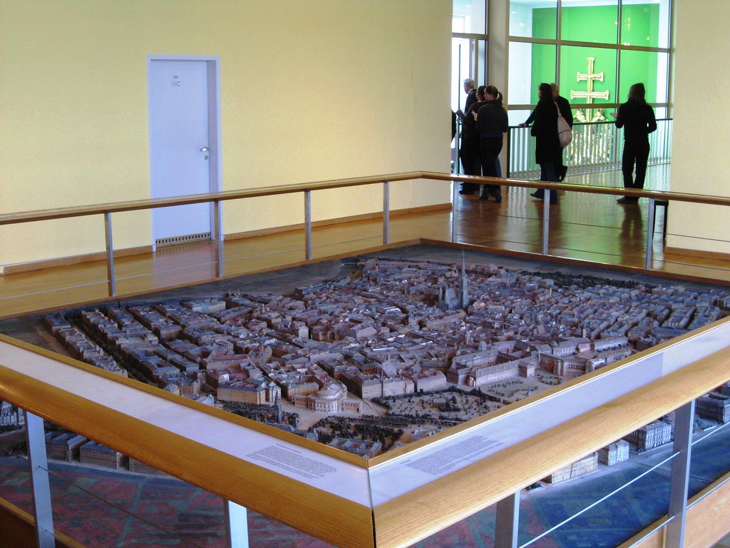
- Vienna - the Wien Museum (the city history museum) has two models at about the same scale (one on the second floor and one on the third) showing the city in about 1800 and in about 1900 (overview shown above and detail shown at the right). The Wien Museum is well worth a visit, here's a link to my Wien Museum flickr photos set.
Add more in the comments!
I just read a review in the NY Times (The World as Their Canvas by Stephen Heller) surveying several books about maps and graphic design. Great survey article, I want all the books!
Here are some of my Vienna flickr photos on a Google Map.
I just tried this new program to create Google Maps for flickr photos. Here's my first map: photos of Stift Vorau in the Steirmark state of Austria. It's quite easy to use and so I will gradually create maps for my flickr photos. Here's the link to iMapFlickr.